Territory and population
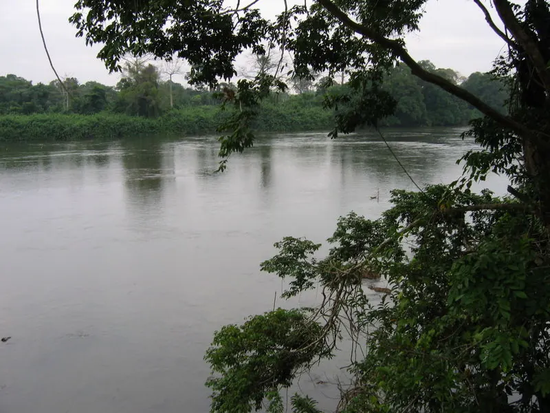
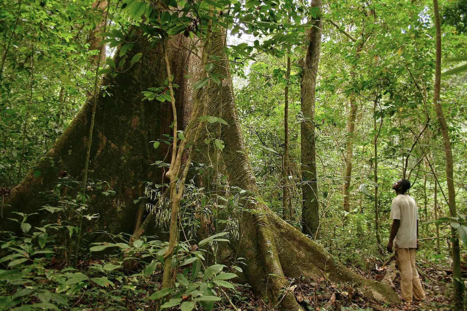
Ngounié covers 37,750 km², about 14.1% of the national territory. It takes its name from the Ngounié river, which crosses it. Forest covers about 93% of its area; a strip of savannah runs from about 40 km north of Mouila to the border with the Republic of the Congo. In the east, the Chaillu massif rises to just over 1,000 metres.
The 2013 general population and housing census (RGPL) counted 100,838 inhabitants, or 2.7 people per km². The 2026 census results, validated by the Constitutional Court on 27 August 2026, report 159,404 inhabitants. These national results are well above United Nations and World Bank estimates and have been debated in the Gabonese press.
The province has nine departments. The most populous in 2013 were Douya-Onoye (Mouila, 37,699 inhabitants), Tsamba-Magotsi (Fougamou, 14,875) and Boumi-Louetsi (Mbigou, 13,223). The other department capitals are Lébamba, Mimongo, Ndendé, Mandji, Malinga and Guiétsou.
Economic activities
Oil palm and agriculture
Olam Palm Gabon, a joint venture owned 60% by the Olam group and 40% by the Gabonese State, runs four oil palm plantations in the country, two of them in Ngounié: Mouila, established in 2011, and Ndendé, established in 2016. In 2012 the company stated that the Mouila site covered a total area of 42,500 hectares. An extension (Mouila lot 2) in the Tsamba-Magotsi and Ndolou departments went to public consultation in 2013. According to Olam, all its palm concessions in Gabon have been certified by the Roundtable on Sustainable Palm Oil (RSPO) since 2022.
The province also hosted the GRAINE agricultural programme (Gabonaise des réalisations agricoles et des initiatives des nationaux engagés), launched in late 2014 and run by the Gabonese agricultural processing and rural development company (SOTRADER), a partnership between the State (51%) and Olam (49%). In November 2015, 43 farming cooperatives received approvals in Ndendé.
Gold
Moroccan mining group Managem is developing the Etéké gold project, about 420 km from Libreville. It has held a 1,408 km² exploration permit there since 2007 and obtained a mining licence in April 2022. Managem reports probable reserves of 452,000 ounces of gold across three open-pit deposits, an estimated investment of 138 million dollars and a target of commercial production in the fourth quarter of 2028.
Infrastructure
Mouila, on the Ngounié river, is served by the N1 national road and has an airfield.
The Impératrice Eugénie falls hydropower project is on the Ngounié river, about 5 km from Fougamou. Planned for decades and stalled for several years, it was relaunched in 2022: in March the State, the renewable energy development company CODER and the Chinese firm China Gezhouba Group Corporation (CGGC) reached an agreement to resume construction, and in August the Council of Ministers approved the contracts. The plant is meant to supply the Fougamou, Lambaréné, Libreville corridor. The developer describes a first phase of 120 megawatts (MW), expandable to 168 MW, and indicated provisional commissioning in the second half of 2025; the sources consulted do not confirm the current state of construction.
National parks and environment
Two of the thirteen national parks created in 2002 are in Ngounié:
- Waka National Park (about 1,061 km²), in the Chaillu massif, entirely within the province.
- Birougou National Park (about 683 km²), shared with Ogooué-Lolo. Named after Mount Birougou (975 m), it includes wetlands designated as a Ramsar site and has been on UNESCO's World Heritage tentative list since 2005.
The parks are managed by the national parks agency (ANPN).
Further reading
-
Etéké project (Managem) (opens in a new tab)
The developer's overview of the gold project.
-
Olam Palm Gabon plantations (opens in a new tab)
Overview of the plantations and RSPO certification.
-
Impératrice falls power plant (CODER) (opens in a new tab)
CODER's project sheet for the hydropower plant.
-
The GRAINE programme (French Treasury) (opens in a new tab)
2019 note on the GRAINE agricultural programme.
Province indicators
Places and facilities
Facilities, sites and towns of Ngounié province
- Airport
- Border post
- City, National park, Power plant
The map cannot be displayed in this browser. The list of places remains available.
List of places (9)
- Mouila Airport Airport
- Doussala border post (Congo) Border post
- Fougamou City
- Lébamba City
- Mouila City
- Ndendé City
- Waka National Park National park
- Bongolo hydroelectric plant Power plant
- Dibwangui hydroelectric plant (project) Power plant
Photographs
Sources
19 sources cited
- Ngounié (opens in a new tab)
- Mouila (opens in a new tab)
- Résultats globaux du recensement général de la population et des logements de 2013 (RGPL 2013) (opens in a new tab)
- Gabon : 62 % de la population concentrée dans l'Estuaire, l'urgence de repeupler l'intérieur du pays (opens in a new tab)
- RGPL : le Gabon face à sa nouvelle géographie (opens in a new tab)
- RGPL 2026 : 3,5 millions d'habitants, le grand bond démographique qui demande des explications (opens in a new tab)
- Olam Palm Gabon: palm plantations (opens in a new tab)
- Tout ce qu'il faut savoir sur Olam Gabon par Olam Gabon (opens in a new tab)
- Olam Palm Gabon: public consultation on new planting (Mouila lot 2) (opens in a new tab)
- Le programme GRAINE (opens in a new tab)
- Des agréments, des titres fonciers et des « Graines » prometteuses dans la Ngounié (opens in a new tab)
- Etéké project (opens in a new tab)
- Mine d'or d'Etéké : Managem enclenche la phase clé (opens in a new tab)
- « Chutes de l'Impératrice » hydro power plant (opens in a new tab)
- Gabon : nouvel élan pour les projets Fé2 et Impératrice (opens in a new tab)
- Gabon : 270 milliards pour la relance des travaux des centrales hydroélectriques de Fougamou et FE2 (opens in a new tab)
- Parcs nationaux du Gabon (opens in a new tab)
- Birougou National Park (opens in a new tab)
- General Directorate of Statistics of Gabon (opens in a new tab) Total population