Territory and population
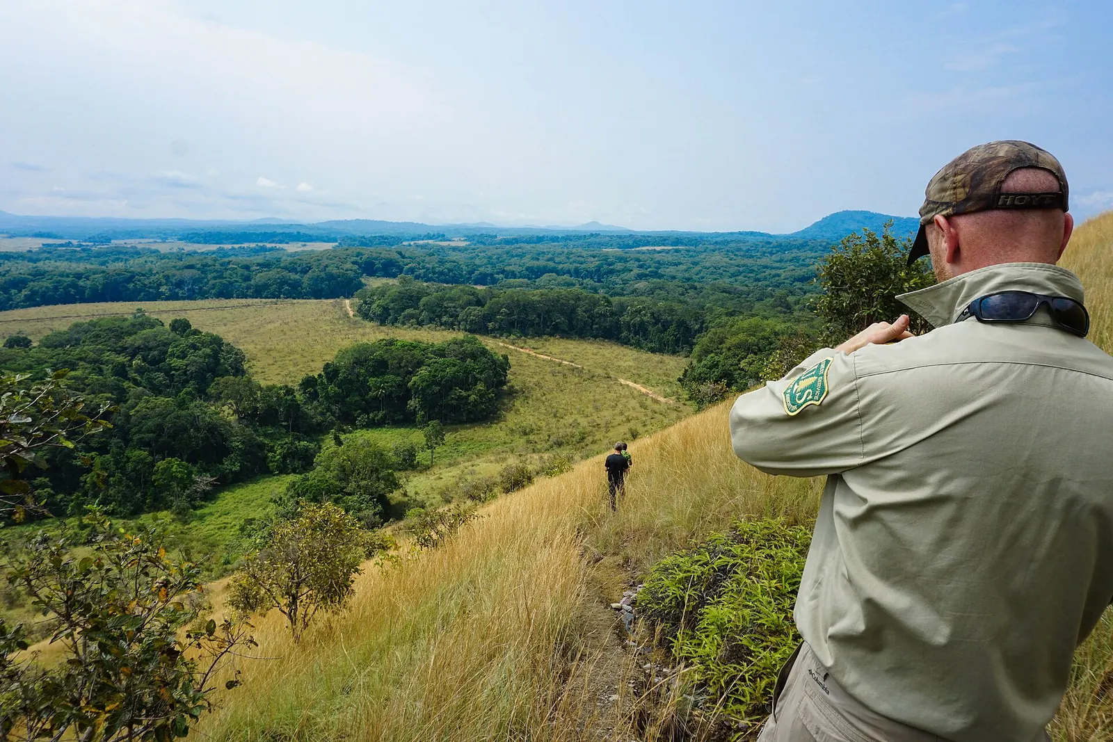
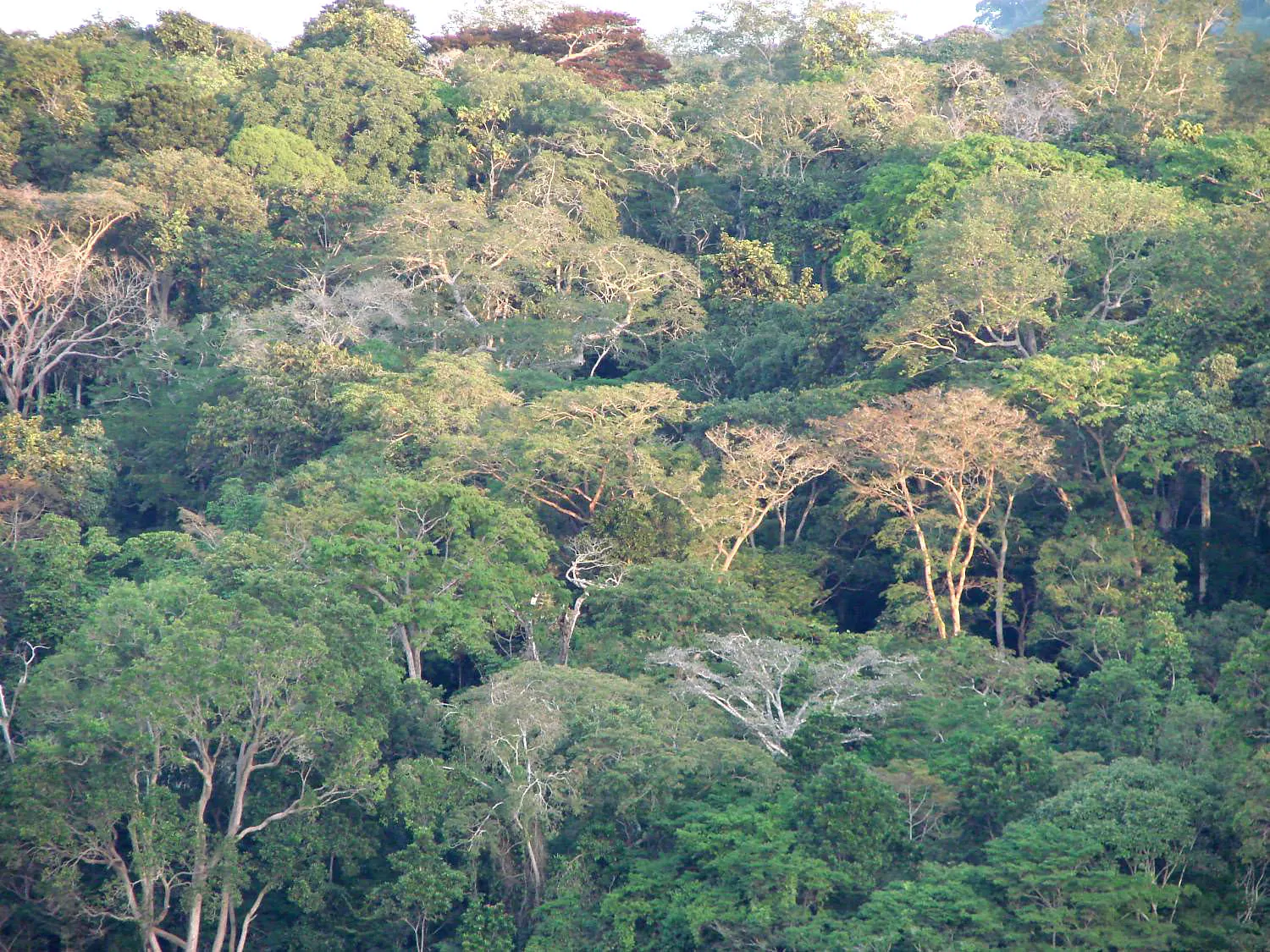
Ogooué-Ivindo covers about 46,075 km², making it the country's largest province. It takes its name from the Ogooué river and its tributary the Ivindo, whose name means "black river". Forest covers about 87% of its area; the Lopé department also includes savannahs. Mount Belinga, in the north-east, rises to 1,024 metres.
The 2013 general population and housing census (RGPL) counted 63,293 inhabitants, or 1.4 people per km², the lowest density in the country. The 2026 census results, validated by the Constitutional Court on 27 August 2026, report 93,482 inhabitants. These national results are well above United Nations and World Bank estimates and have been debated in the Gabonese press.
The province has four departments: Ivindo (Makokou, 31,073 inhabitants in 2013), Zadié (Mékambo, 15,816), Lopé (Booué, 12,382) and Mvoung (Ovan, 4,022). Booué was founded in 1883; Makokou, established in 1908, has been the provincial capital since 1958.
Economic activities
The forest, still lightly exploited, is the province's main renewable resource. The subsoil contains mainly iron ore, as well as gold.
The Belinga iron ore deposit, in the north-east, was discovered in 1895 and its reserves are estimated at about one billion tonnes of ore. Its development has been considered for decades: the first Transgabonais railway studies, in 1968, concerned an Owendo to Belinga mineral line, and a 237 km rail branch from Booué has been studied to carry the ore. The project has been postponed several times for lack of financing.
Infrastructure
The Transgabonais railway, operated since 2003 by the Transgabonais operating company (SETRAG, Eramet group), crosses the south-west of the province. Booué station, open since 1983, brought new activity to the town; Booué also has an airfield.
Makokou lies on the N4 national road and is served by an airfield. A Transgabonais branch to Makokou was originally planned, then abandoned.
National parks and environment
The province includes both of Gabon's UNESCO World Heritage sites:
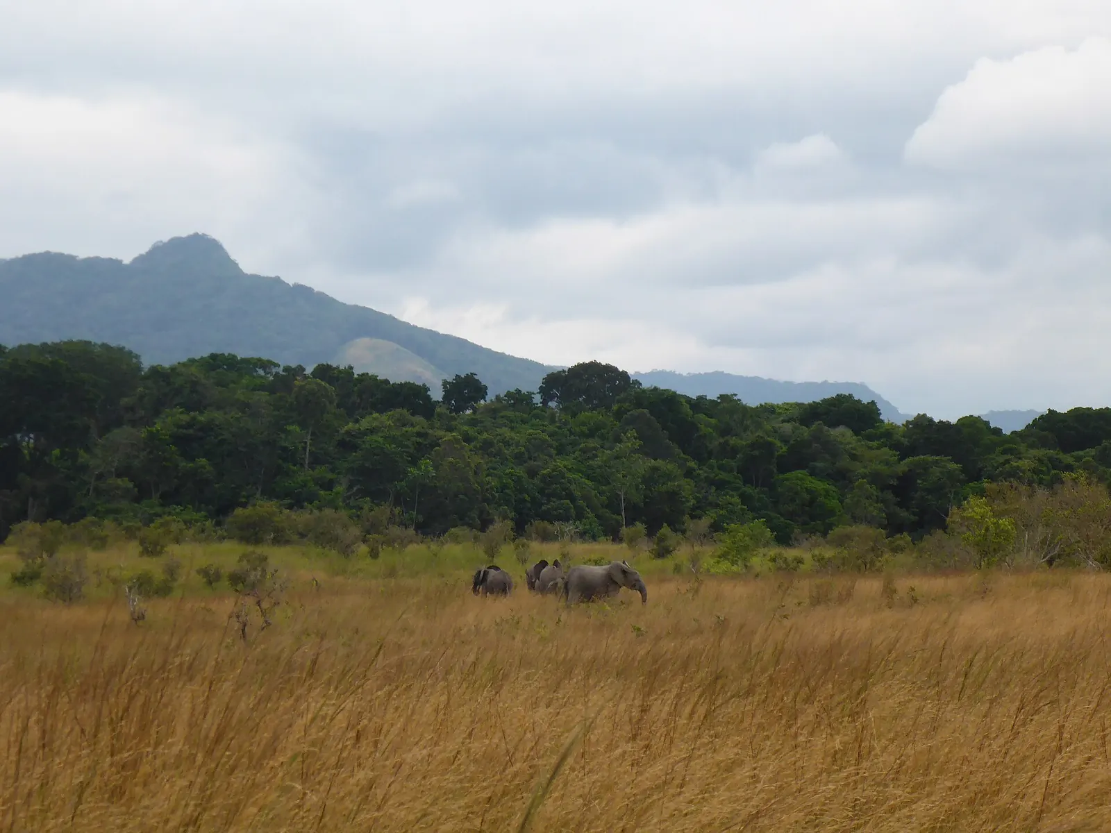
- Lopé National Park (about 4,942 km²): the country's first protected area, created in 1946 as a wildlife reserve, inscribed in 2007 as the "Ecosystem and relict cultural landscape of Lopé-Okanda". This mixed site combines a mosaic of forest and savannah with many archaeological remains, including more than 1,600 rock engravings.
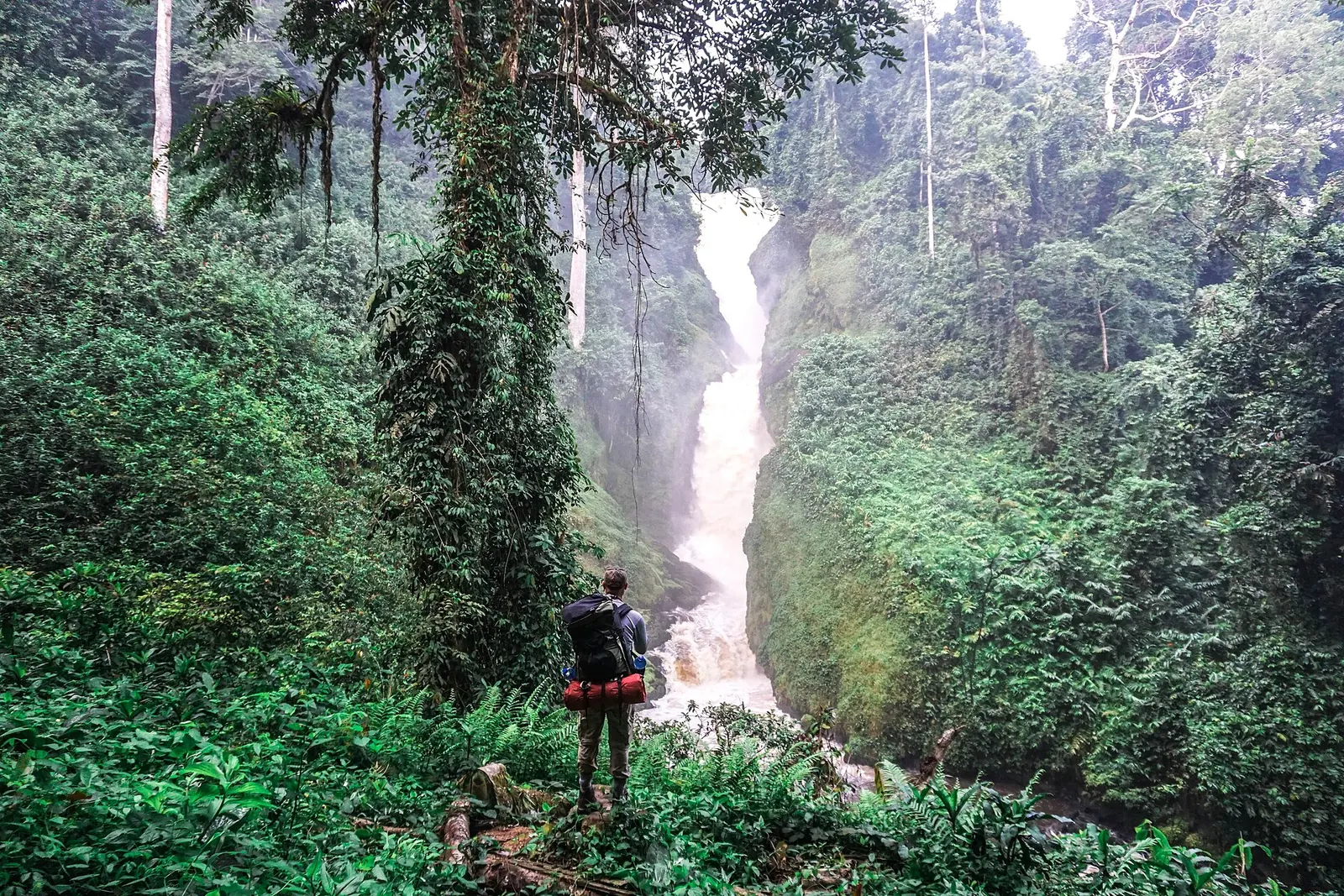
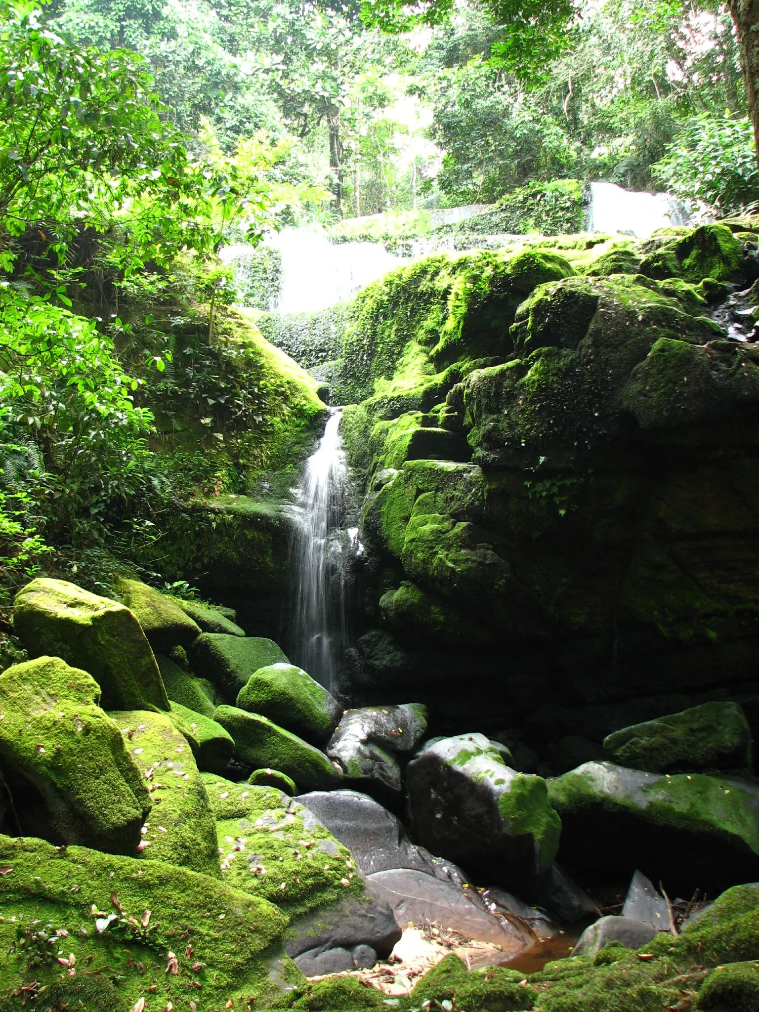
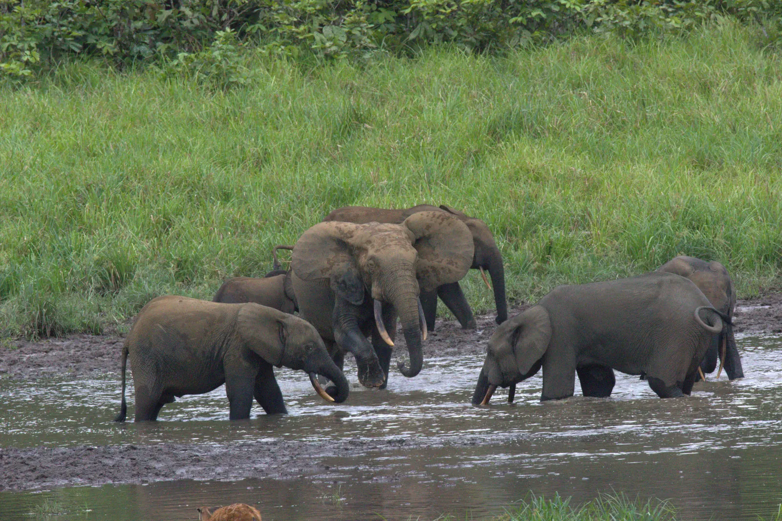
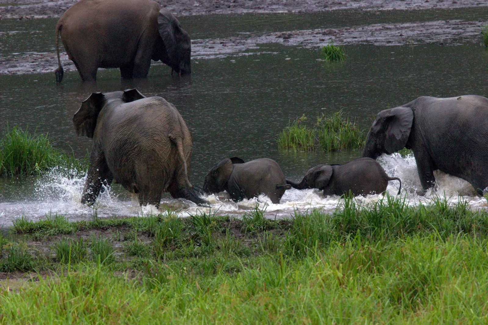
- Ivindo National Park (nearly 300,000 hectares), straddling Ogooué-Ivindo and Ogooué-Lolo, inscribed in 2021. It is known for the Kongou and Mingouli falls on the Ivindo and includes the Ipassa biosphere reserve near Makokou and the Langoué clearing.
Mwagna National Park (about 1,167 km²) is also in the province. Minkébé National Park, listed under Woleu-Ntem, extends across the north-east of the country; from 1997 the World Wide Fund for Nature (WWF) based one of its two management centres in Makokou. The parks are managed by the national parks agency (ANPN).
Further reading
-
Ivindo National Park (IUCN) (opens in a new tab)
World Heritage site assessment page.
-
National parks of Gabon (opens in a new tab)
List of the thirteen parks, with province and area.
-
2013 census overall results (opens in a new tab)
Publication by the national statistics office (PDF).
Province indicators
Places and facilities
Facilities, sites and towns of Ogooué-Ivindo province
- Airport
- City, Mine, National park, Railway station
- Railway
The map cannot be displayed in this browser. The list of places remains available.
List of places (13)
- Makokou Airport Airport
- Mékambo Airfield Airport
- Booué City
- Makokou City
- Mékambo City
- Bélinga iron ore deposit Mine
- Lopé National Park National park
- Mwagné National Park National park
- Trans-Gabon railway (Owendo-Franceville) Railway
- Ayem station Railway station
- Booué station Railway station
- Ivindo station Railway station
- Lopé station Railway station
Photographs



Sources
18 sources cited
- Ogooué-Ivindo (opens in a new tab)
- Makokou (opens in a new tab)
- Booué (opens in a new tab)
- Transgabonais (opens in a new tab)
- Belinga (opens in a new tab)
- Ivindo National Park (opens in a new tab)
- Ivindo National Park (opens in a new tab)
- Gabon's Ivindo park given World Heritage status by UNESCO (opens in a new tab)
- Parc national de la Lopé (opens in a new tab)
- Lopé National Park (opens in a new tab)
- Parc national de Mwagna (opens in a new tab)
- Minkébé National Park (opens in a new tab)
- Parcs nationaux du Gabon (opens in a new tab)
- Résultats globaux du recensement général de la population et des logements de 2013 (RGPL 2013) (opens in a new tab)
- Gabon : 62 % de la population concentrée dans l'Estuaire, l'urgence de repeupler l'intérieur du pays (opens in a new tab)
- RGPL : le Gabon face à sa nouvelle géographie (opens in a new tab)
- RGPL 2026 : 3,5 millions d'habitants, le grand bond démographique qui demande des explications (opens in a new tab)
- General Directorate of Statistics of Gabon (opens in a new tab) Total population