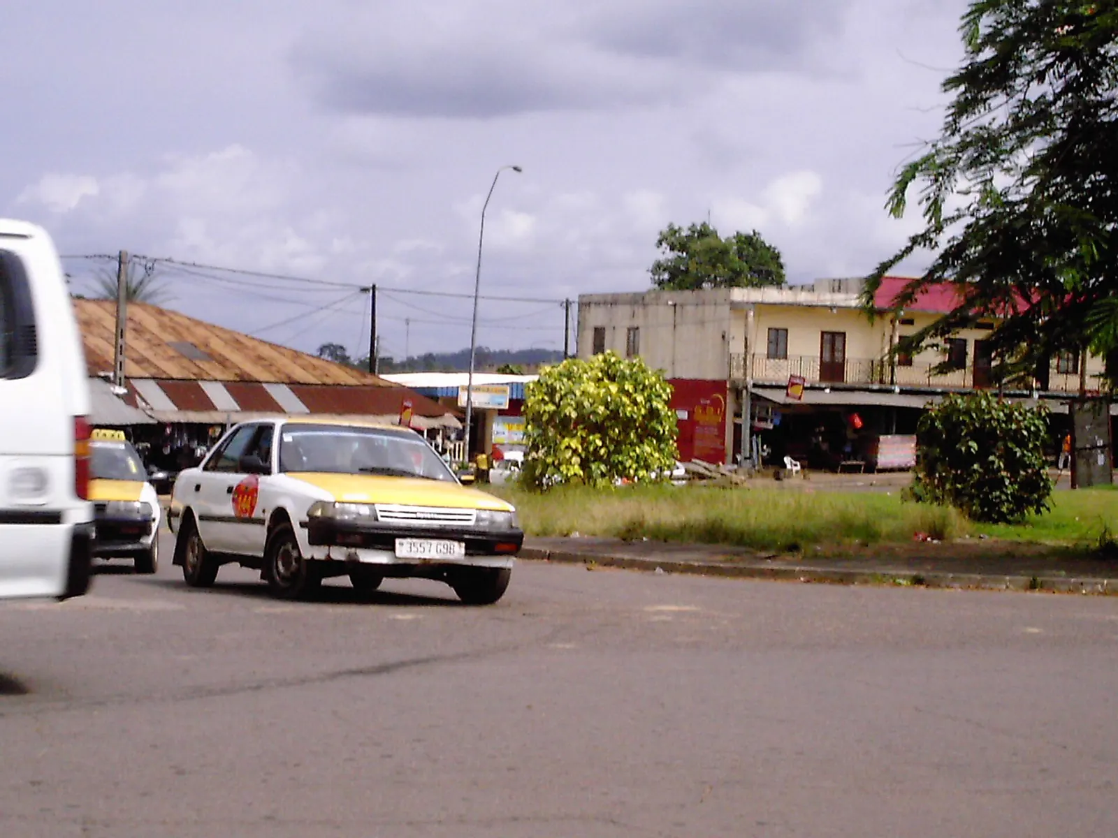
Territory and population
Woleu-Ntem covers 38,465 km², about 14.4% of the national territory. It borders Cameroon to the north and Equatorial Guinea to the north-west. The terrain is mostly hills above 500 m; Oyem lies at about 650 m.
The province has five departments: Woleu (capital Oyem), Ntem (Bitam), Okano (Mitzic), Haut-Ntem (Minvoul) and Haut-Como (Médouneu).
The 2013 general population and housing census (RGPL) counted 154,986 inhabitants (4.0 per km²), including 74,403 in Woleu department and 49,712 in Ntem. Oyem then had 60,685 inhabitants, making it the country's fourth largest town, and Bitam 27,923. The 2026 census counts 242,029 inhabitants in the province. These 2026 census results, validated by the Constitutional Court on 27 August 2026, are well above World Bank estimates and have been debated in the press.
Economic activities
Woleu-Ntem has little industry. Its agricultural output is mainly cocoa, coffee and rubber. Food crops and forest hunting remain important for household food supply.
Oyem, at the crossroads of Gabon, Cameroon and Equatorial Guinea, is a hub for cross-border trade. The town also has a Sobraga plant producing beer and soft drinks. Bitam, on the Cameroonian border, has a large market.
On the Cameroonian side, the municipality of Kyé-Ossi lies right at the junction of Cameroon's borders with Gabon and Equatorial Guinea and serves as a crossing point between the three countries.
Infrastructure
National road 2 (N2), 456 km long, starts at Bifoun (Moyen-Ogooué), passes through Ndjolé, then crosses Woleu-Ntem via Mitzic, Oyem and Bitam before reaching Eboro, where a bridge over the Ntem river connects it to Cameroon. It is the main road link between Gabon and Cameroon.
Bitam has an airfield.
National parks and environment
Two national parks extend partly into the province: Minkébé National Park and Monts de Cristal National Park. Minkébé, officially recognised in August 2002, covers 7,570 km² in the far north-east of Gabon. It is part of the Dja-Odzala-Minkébé tri-national area (TRIDOM), shared with Cameroon and the Republic of the Congo, and is home to one of Africa's largest forest elephant populations.
Further reading
-
Woleu-Ntem (Wikipedia, in French) (opens in a new tab)
General overview of the province.
-
National road 2 (Wikipedia, in French) (opens in a new tab)
Route of the Bifoun-Oyem-Eboro road.
-
Minkébé National Park (Wikipedia) (opens in a new tab)
Overview of the park and the TRIDOM area.
Province indicators
Places and facilities
Facilities, sites and towns of Woleu-Ntem province
- Airport, Dam
- Border post
- City, National park, Power plant
The map cannot be displayed in this browser. The list of places remains available.
List of places (12)
- Bitam Airport Airport
- Oyem Airport Airport
- Eboro border post (Cameroon) Border post
- Meyo-Kyé border post (Equatorial Guinea and Cameroon) Border post
- Bitam City
- Médouneu City
- Minvoul City
- Mitzic City
- Oyem City
- Tchimbélé dam Dam
- Minkébé National Park National park
- FE2 hydroelectric plant (project) Power plant
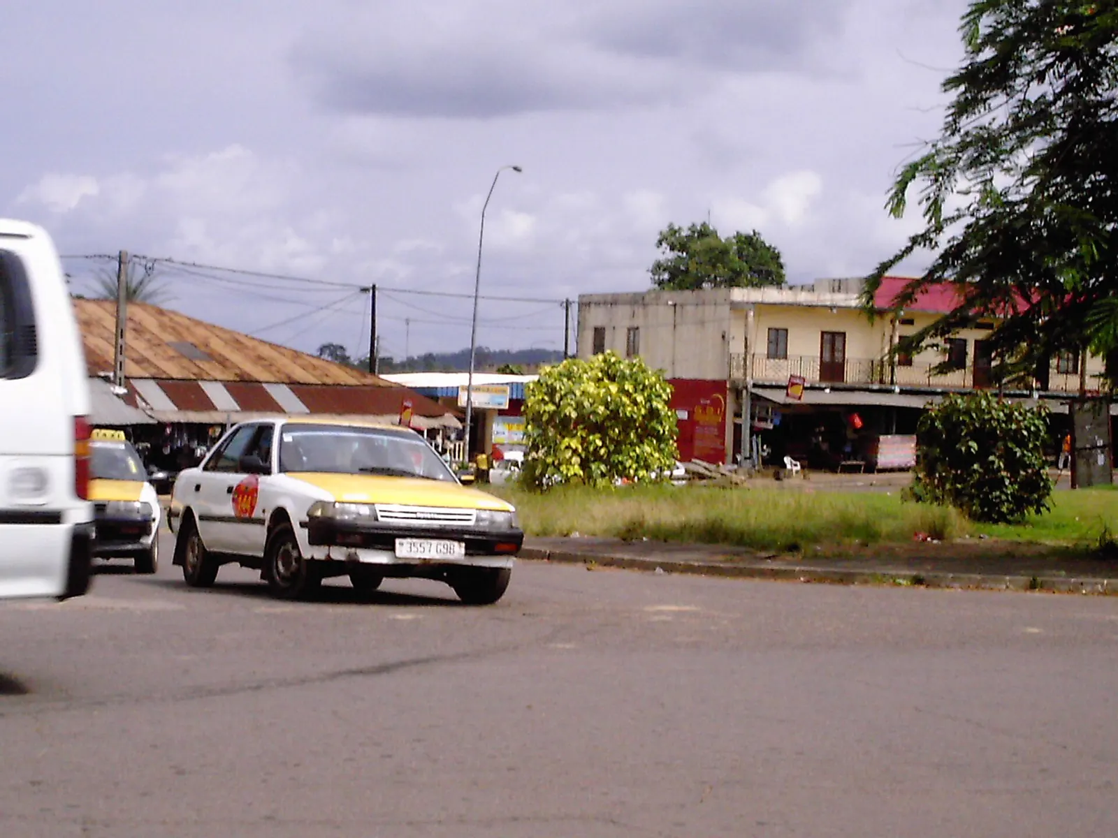
Photographs
Sources
11 sources cited
- Woleu-Ntem (opens in a new tab)
- Woleu-Ntem Province (opens in a new tab)
- Résultats globaux du Recensement général de la population et des logements de 2013 (RGPL 2013) (opens in a new tab)
- Gabon : 62 % de la population concentrée dans l'Estuaire, l'urgence de repeupler l'intérieur du pays (opens in a new tab)
- RGPL 2026 : 3,5 millions d'habitants, le grand bond démographique qui demande des explications (opens in a new tab)
- Oyem (opens in a new tab)
- Bitam (opens in a new tab)
- Route nationale 2 (Gabon) (opens in a new tab)
- Kyé-Ossi (opens in a new tab)
- Minkébé National Park (opens in a new tab)
- General Directorate of Statistics of Gabon (opens in a new tab) Total population